
Udzungwa Mountains National Park Map
By the Foot Slopes Tours and Safaris team
Our Arusha-based guides and safari planners know Udzungwa Mountains National Park first-hand, and write this guide from experience on the ground.
Udzungwa Mountains National Park Map
Udzungwa Mountains National Park rises steeply from the Kilombero Valley in south-central Tanzania, a short drive south of Mikumi National Park. Most visits begin at park headquarters near Mang'ula, where trailheads lead into lowland rainforest, towards Sanje Waterfall and up to higher ridges such as Mwanihana. The remote western highlands, including Luhombero Peak, are reached only on long expeditions. Because there are no roads inside the park, understanding the layout helps you choose the right trails. This interactive map guide explains key areas, access routes and connections for your private tailor-made Udzungwa safari with Foot Slopes Tours and Safaris.
Interactive Map of Udzungwa
The schematic map below shows the main places visitors explore and how Udzungwa connects with nearby parks. Tap or click any numbered marker to read a short description of that area, including what you can see and do there. The eastern escarpment around Mang'ula holds most trailheads, while the vast western interior remains wild, roadless and rarely visited. Remember that the map is designed for orientation only and is not drawn to scale. Your safari planner will provide detailed routes, walking times and ranger arrangements once your private tailor-made itinerary is confirmed and your preferred trails are chosen.
Mang'ula Headquarters
Park headquarters and main gate at the foot of the eastern escarpment, where rangers meet visitors and most trails begin.
Explore Udzungwa Area by Area
Each part of Udzungwa offers a different experience, from easy, shaded forest walks near park headquarters to demanding multi-day treks into remote montane habitat. Lowland forest on the eastern slopes is easiest to reach and rich in primates, while higher ridges reward fit hikers with cooler air and sweeping views. Beyond the eastern park boundary, the Kilombero Valley adds wetlands, farms and rural life. Explore the main areas below to understand what each offers, then let your planner choose a combination that suits your interests, fitness level, available time and the season of your private tailor-made Udzungwa safari.
Mang'ula & Eastern Escarpment
HighlightGateway to the park
Park headquarters near Mang'ula village sits at the foot of the steep eastern escarpment. Here you meet rangers, pay fees and start most trails. Comfortable lodges and camps nearby make it a convenient and practical base for your visit. Even short walks from here enter lowland forest, where red colobus and black-and-white colobus are often seen.
Park Fees →Sanje Waterfall Area
HighlightFalls above the valley
Just north of Mang'ula, the Sanje area is home to the park's famous waterfall, which drops about 170 metres through forest. The trail climbs through lowland and submontane forest with views across the Kilombero Valley. It is the most visited part of the park and ideal for a rewarding, scenic half-day hike with your private guide.
Udzungwa Photos →Mwanihana Forest & Peak
HighlightHigher ridges and views
Above Mang'ula, the Mwanihana forest climbs towards Mwanihana Peak. This multi-day trekking route passes through several forest zones into cooler montane habitat. It rewards fit, well-prepared hikers with sweeping views over the Kilombero Valley, quiet trails and chances of rarer birds and primates. Camping, permits, porters and ranger escort are arranged in advance by your planner.
Best Time to Visit →Western Highlands & Luhombero
HighlightThe roadless interior
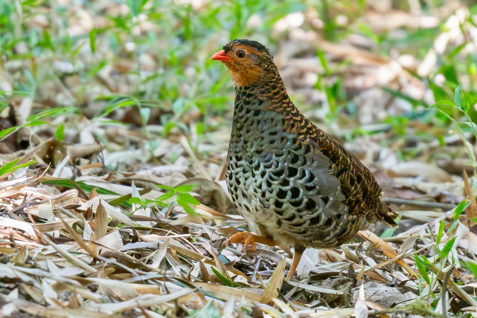
The vast western side of Udzungwa includes montane forest, grassland and Luhombero Peak, the park's highest point at 2,576 metres. This area is very remote and visited mainly by researchers and experienced, self-sufficient expedition trekkers with ranger support. It shelters some of the park's rarest species, including the forest partridge, deep within undisturbed forest blocks.
Udzungwa Birds →Kilombero Valley
HighlightWetlands and farms
East and south of the escarpment lies the broad Kilombero Valley, a patchwork of farms, rivers and seasonal wetlands. It provides the dramatic view seen from the Sanje trail and supports waterbirds and rural communities. Drives along the valley edge reveal everyday Tanzanian life, adding welcome cultural depth and colour to your private Udzungwa visit.
How to Get There →How Udzungwa Connects to Other Parks
Udzungwa sits at the heart of Tanzania's southern safari circuit, making it easy to include in a wider private journey. The usual road route runs from Dar es Salaam through Morogoro and Mikumi before turning south to Mang'ula, a distance of around 350 kilometres. Mikumi is the closest park, while Ruaha lies further west beyond Iringa and Nyerere sits to the east. The route ribbon below shows a typical sequence used by many private travellers. Your planner will adjust driving times, overnight stops and optional flights to create a comfortable, well-paced private tailor-made itinerary that suits your travel style.
Popular Udzungwa Safari Packages
Hand-picked southern circuit itineraries that combine with the Udzungwa Mountains, tailored privately by Foot Slopes Tours and Safaris.
6-Day Tanzania Southern Circuit Safari
A six-day fly-in safari linking Nyerere's Rufiji River boat safaris with Ruaha's vast wilderness.
View Package →
11-Day Best Of Southern Tanzania Safari
An eleven-day journey through Nyerere, Mikumi, Udzungwa, and Ruaha's finest southern-circuit wildlife.
View Package →
7-Day Southern Tanzania Safari
A seven-day circuit through Nyerere, Mikumi, and the Udzungwa Mountains' rainforest and wildlife.
View Package →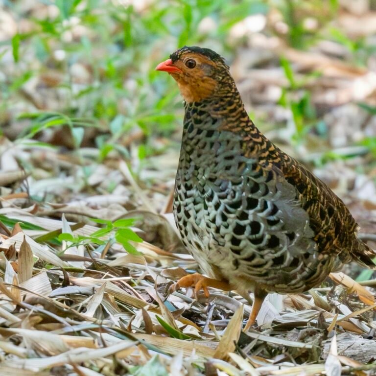
Tailor-Make Your Udzungwa Safari
Tell us your dates, pace and interests, and we will plan a private Udzungwa itinerary just for you.
Explore →Udzungwa Mountains National Park Planning Guides
Udzungwa Mountains National Park Map: Frequently Asked Questions
Where is Udzungwa Mountains National Park?
Udzungwa is in south-central Tanzania, rising above the Kilombero valley just south of Mikumi National Park. It is part of the Eastern Arc Mountains and is reached by road via Morogoro and Mikumi.
Where do Udzungwa hikes start?
Most hikes start near the park headquarters at Mang’ula, where guides and rangers meet visitors. The Sanje Waterfalls trail and shorter forest walks begin close by, while longer treks head deeper into the mountains.
Are there roads inside Udzungwa?
No. There are no roads into the park interior, so all exploration is on foot along guided trails. This keeps the forest quiet and is part of what makes Udzungwa special.
How close is Udzungwa to Mikumi?
Udzungwa is a short drive south of Mikumi National Park, so the two are often combined. Many travellers enjoy game drives in Mikumi and then spend a day hiking to the Sanje Waterfalls in Udzungwa.
Plan Further: Udzungwa Mountains National Park Guides & Resources
Explore Udzungwa Mountains National Park
- Udzungwa Mountains National Park Overview
- Udzungwa Mountains National Park Wildlife
- Birds of Udzungwa Mountains National Park
- Udzungwa Mountains National Park Weather & Climate
- How to Get to Udzungwa Mountains National Park
- Udzungwa Mountains National Park Malaria & Safety
- Udzungwa Mountains National Park Safari Tours
Plan Your Udzungwa Mountains National Park
Tell us your dates, style, and preferred parks, and we will build the perfect itinerary around you.
Book Now Online →What Our Travelers Say
Real 5-star reviews from guests who traveled with us
Our Private African luxury Safari experience with Foot Slopes Tours and Safaris was nothing short of exceptional. From the very beginning, owner Gabriel was incredibly responsive, making the entire booking process smooth and stress-free. Gabriel went above and
We had an incredible private safari experience with Foot Slopes Tours and Safaris. Their office staff was very helpful and informative, and they communicated very well. Our pick-ups to and from the airport were on time and hassle-free, an unforgettable Safari
Foot Slopes Tours and Safaris is truly one of the best local tour companies in Tanzania. From start to finish, their service was professional, reliable, and personalized. The team went above and beyond to make sure every detail of our trip was perfect. Our saf
Our family chose Foot Slopes Tours and Safaris for a custom 11-day safari itinerary, and we couldn’t be happier with our choice! Everything from our initial inquiry to building our custom itinerary to pre-departure and on-trip support was top quality. Communic