
Where Is Tanzania Located in Africa?
Where Is Tanzania Located in Africa?
Tanzania is a beautiful East African country located on the eastern coast of Africa, famous for its incredible wildlife, Mount Kilimanjaro, Zanzibar beaches, Serengeti National Park, and Ngorongoro Crater. Geographically, Tanzania lies south of the Equator and borders the Indian Ocean to the east. Its strategic location makes it one of Africa’s leading safari, tourism, and cultural destinations. Located between the African Great Lakes region and the Indian Ocean coastline, Tanzania shares borders with Kenya, Uganda, Rwanda, Burundi, Democratic Republic of Congo, Zambia, Malawi, and Mozambique. Discover where Tanzania is located on the Africa map, world map, and why this East African nation is globally recognised.
Where Is Tanzania Located in Africa?
Tanzania is located in East Africa, on the eastern side of the African continent. It sits along the Indian Ocean coastline, approximately between Kenya and Mozambique. Tanzania’s location places it within the African Great Lakes region, near Lake Victoria, Lake Tanganyika, and Lake Malawi. The country is south of the Equator and east of the Democratic Republic of Congo and Zambia. Its geographical position makes Tanzania a gateway for East African safaris, beach holidays, and cultural adventures. The country covers approximately 945,087 square kilometres, making it one of the largest nations in Africa. Tanzania’s location is ideal for exploring wildlife destinations, tropical islands, and mountain landscapes.
Tanzania Location on the World Map
On the world map, Tanzania is found in the eastern part of Africa, between the Indian Ocean and the African Great Lakes. It is positioned below the Equator in the Southern Hemisphere and east of the African continent’s interior. Tanzania lies approximately between latitudes 1°S and 12°S and longitudes 29°E and 40°E. When searching for Tanzania on a world map, look southeast of Africa’s central region, directly below Kenya and Uganda. The country’s location connects Africa’s mainland with important Indian Ocean islands, including Zanzibar, making Tanzania a major destination for international travellers seeking African safari tours and tropical beach experiences.
- ArushaGateway
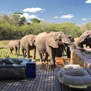
- TarangireElephants
- NgorongoroCrater
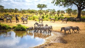
- SerengetiBig Five
- ZanzibarBeach
Which Continent Is Tanzania Located In?
Tanzania is located on the continent of Africa, specifically in East Africa. Africa is the world’s second-largest continent and home to diverse ecosystems, cultures, and landscapes. Tanzania is part of the East African Community and shares geographical connections with countries including Kenya, Uganda, Rwanda, Burundi, and the Democratic Republic of Congo. The country’s position in Africa gives it access to the Indian Ocean and the Great Lakes region. Tanzania is internationally recognised as one of Africa’s top travel destinations due to its famous national parks, wildlife migration, Mount Kilimanjaro, and rich cultural heritage. Where Is Tanzania Located in Africa, Tanzania location, Tanzania in Africa, East Africa, Tanzania map, Tanzania geography, Tanzania country location, where is Tanzania on the map, Tanzania continent, Tanzania bordering countries, countries bordering Tanzania, Tanzania neighbours, Tanzania borders, Tanzania Indian Ocean, Tanzania coastline, Tanzania equator, Tanzania south of the Equator.
Tanzania’s Geographical Location and Coordinates
Tanzania’s geographical coordinates are approximately between 1°S and 12°S latitude and 29°E and 40°E longitude. The country is located just south of the Equator, placing most of its territory in the Southern Hemisphere. Tanzania occupies a strategic position in East Africa, stretching from the Indian Ocean coastline in the east to inland areas bordering the Great Lakes. Its diverse geography includes mountains, savannah plains, forests, lakes, islands, and coastal areas. The country’s location supports a wide range of ecosystems, making it famous for African wildlife safaris, nature tourism, and outdoor adventures throughout the year. Tanzania latitude and longitude, East African countries, African map Tanzania, Tanzania travel guide, Tanzania safari destination, Tanzania tourism, Serengeti National Park, Ngorongoro Crater, Mount Kilimanjaro, Zanzibar Island, Tanzania wildlife, Tanzania national parks, African safari Tanzania, Tanzania vacation, Tanzania holiday.
Countries Bordering Tanzania
Tanzania shares international borders with eight countries in East and Central Africa. To the north, Tanzania borders Kenya and Uganda. To the west, it shares borders with Rwanda, Burundi, and the Democratic Republic of Congo. To the southwest, Tanzania borders Zambia and Malawi. To the south, it borders Mozambique. The eastern boundary of Tanzania is formed by the Indian Ocean coastline. These neighbouring countries place Tanzania at the heart of East Africa, creating important connections for regional trade, tourism, wildlife conservation, and cultural exchange across the African continent. Tanzania travel, visit Tanzania, Tanzania facts, Tanzania capital city, Dodoma, Dar es Salaam, Tanzania attractions, Tanzania destinations, Tanzania culture, Tanzania climate, Tanzania regions, Tanzania provinces, Tanzania visa information, Tanzania airport, Kilimanjaro International Airport, Tanzania adventure travel, best time to visit Tanzania, Tanzania travel tips, Tanzania travel planning, Tanzania East Africa safari.
Tanzania’s Capital City and Major Cities
The official capital city of Tanzania is Dodoma, located in the central part of the country. Dar es Salaam is the largest city and a major commercial, economic, and transportation hub on the Indian Ocean coast. Other important Tanzanian cities include Arusha, Mwanza, Moshi, Zanzibar City, Mbeya, and Tanga. Arusha is known as the safari capital of Tanzania because it provides access to Serengeti National Park, Ngorongoro Crater, and Mount Kilimanjaro. Tanzania’s major cities reflect the country’s diverse economy, combining tourism, agriculture, trade, culture, and modern urban development.
Tanzania’s Location in East Africa Tourism
Tanzania holds one of the most important tourism locations in East Africa. Its position between the Indian Ocean and the Great Lakes makes it a perfect destination for safari and beach combinations. Visitors travel to Tanzania for the Serengeti Great Migration, Ngorongoro Crater wildlife viewing, Mount Kilimanjaro climbing, Zanzibar holidays, and luxury African safaris. Tanzania’s location allows easy connections with Kenya, Uganda, Rwanda, and other East African destinations. Its world-famous landscapes and wildlife areas make Tanzania one of Africa’s leading tourism countries and a top choice for international travellers.
Tanzania on Africa Map: Northern, Southern, Eastern and Western Borders
On the Africa map, Tanzania is located on the eastern side of the continent. Its northern borders include Kenya and Uganda, while Mozambique lies to the south. Zambia, Malawi, Rwanda, Burundi, and the Democratic Republic of Congo surround its western borders. The Indian Ocean forms Tanzania’s eastern boundary. This central East African location places Tanzania close to some of Africa’s most important natural landmarks, including the Great Rift Valley, Lake Victoria, Lake Tanganyika, and Mount Kilimanjaro. Tanzania’s position makes it geographically significant for tourism, conservation, and regional connectivity.
Why Is Tanzania Famous in Africa?
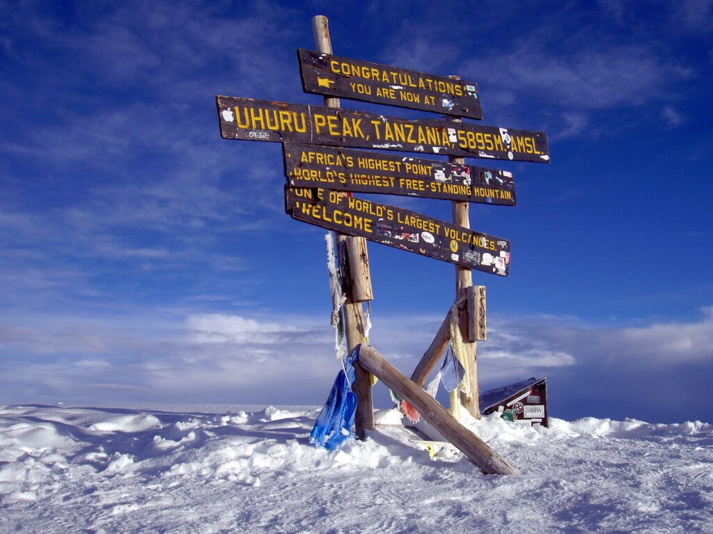
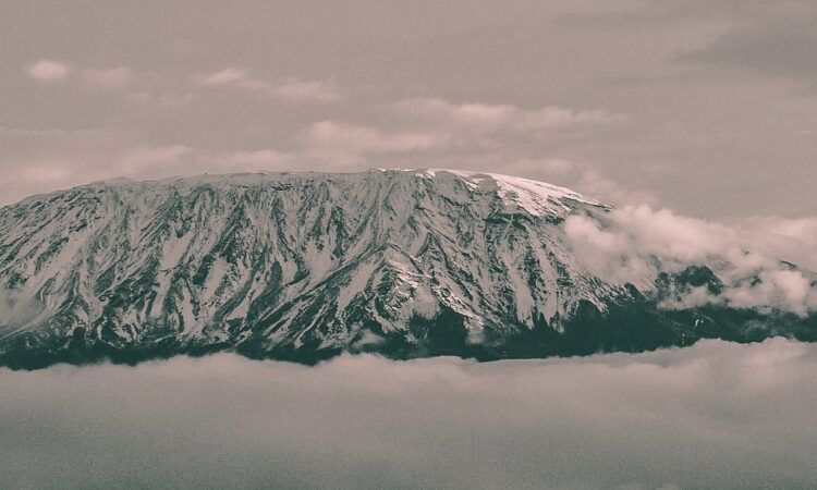
Tanzania is famous worldwide for its extraordinary wildlife, natural wonders, and cultural attractions. The country is home to Serengeti National Park, known for the Great Migration of wildebeest and zebras, and Ngorongoro Crater, one of Africa’s most remarkable wildlife areas. Tanzania also has Mount Kilimanjaro, Africa’s highest mountain, and Zanzibar’s tropical beaches. The country is recognised as one of the best African safari destinations, offering luxury safaris, budget adventures, honeymoon trips, and family holidays. Tanzania’s unique combination of wildlife, landscapes, beaches, and culture makes it one of Africa’s most iconic nations.
Tanzania’s Climate and Natural Environment
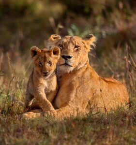
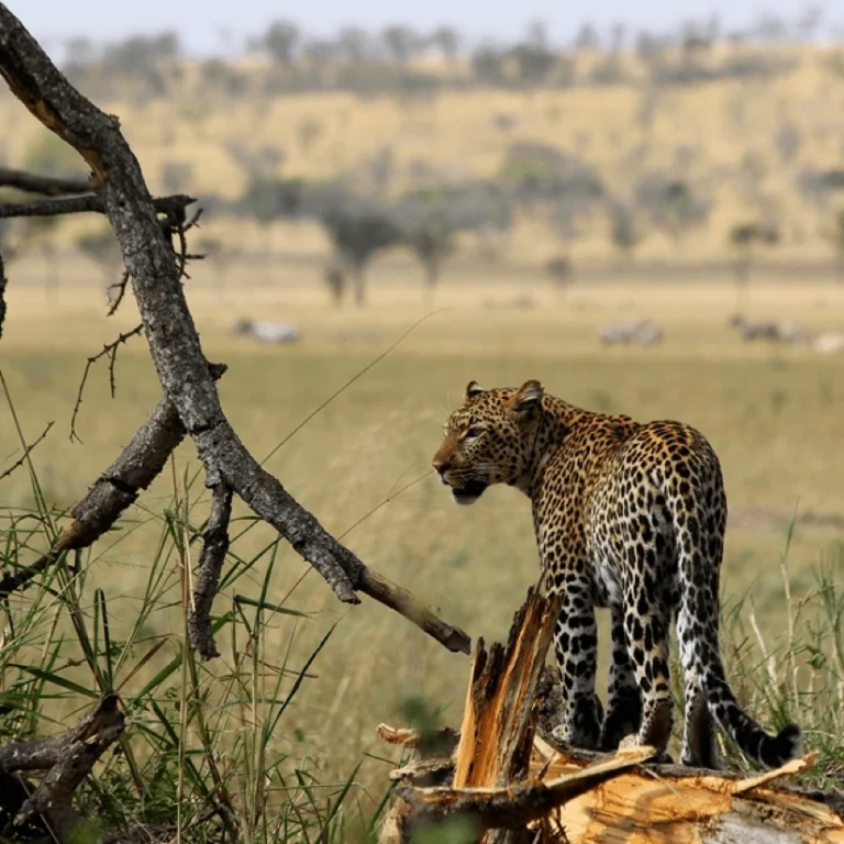
Tanzania has a diverse climate influenced by its location, elevation, and proximity to the Indian Ocean. The country experiences tropical coastal weather, cooler highland climates, and dry savannah conditions. Major environments include Serengeti grasslands, tropical forests, mountain ecosystems, wetlands, and coastal areas. Tanzania’s natural environment supports abundant wildlife, including elephants, lions, giraffes, cheetahs, and many bird species. Seasonal weather patterns create excellent opportunities for safari travel throughout the year. The country’s varied landscapes are a major reason Tanzania is considered one of the world’s premier wildlife and nature destinations.
Tanzania’s Position Compared to Other African Countries
Tanzania is located in a strategic position compared with many African countries. It is south of Kenya, east of the Democratic Republic of Congo, and north of Mozambique. Unlike landlocked neighbouring countries such as Zambia, Rwanda, and Burundi, Tanzania has direct access to the Indian Ocean. Its location provides important trade routes and tourism connections across East Africa. Tanzania is larger than many African nations and ranks among Africa’s most geographically diverse countries. Its combination of coastline, mountains, lakes, and wildlife areas gives it a unique position on the African continent.
How to Find Tanzania on Google Maps and World Maps
To find Tanzania on Google Maps or a world map, search for “Tanzania, East Africa.” The country appears on Africa’s eastern coastline, directly south of Kenya and bordering the Indian Ocean. Major landmarks that help identify Tanzania include Mount Kilimanjaro near the Kenyan border, Lake Victoria in the north, Lake Tanganyika in the west, and Zanzibar Island offshore. Google Maps provides detailed views of Tanzania’s cities, national parks, roads, and tourist attractions. Travellers can easily locate safari destinations such as Serengeti, Ngorongoro, Tarangire, and Kilimanjaro using online maps.
Tanzania’s Importance in Africa
Tanzania plays an important role in Africa because of its geographical location, natural resources, tourism industry, and cultural diversity. It serves as a connection point between East African countries and the Indian Ocean region. Tanzania contributes significantly to African tourism through its world-famous safari destinations, conservation areas, and Mount Kilimanjaro. The country is also important for regional trade, agriculture, and transportation networks. With its strategic position, abundant wildlife, and diverse landscapes, Tanzania remains one of Africa’s most influential countries for tourism, economic development, and environmental conservation.
Final Thought
Tanzania's location in East Africa, along the Indian Ocean and just south of the Equator, makes it one of the continent's most geographically diverse and captivating destinations. Bordered by Kenya, Uganda, Rwanda, Burundi, the Democratic Republic of the Congo, Zambia, Malawi, Mozambique, and the Indian Ocean, Tanzania serves as a gateway to Africa's most celebrated natural wonders. From Mount Kilimanjaro and the Serengeti National Park to the Ngorongoro Crater and the pristine beaches of Zanzibar, its strategic position offers an exceptional blend of wildlife, culture, adventure, and coastal beauty. Whether you're planning a luxury safari, family holiday, honeymoon, or mountain trek, Tanzania's remarkable location makes it one of the world's premier travel destinations and a must-visit country in Africa.
Where Is Tanzania Located in Africa?: FAQs
Where is Tanzania located?
Tanzania is located in East Africa, on the eastern side of the African continent along the Indian Ocean coastline. It lies south of Kenya and Uganda, west of the Indian Ocean, and north of Mozambique. Tanzania is famous worldwide for its iconic attractions, including Serengeti National Park, Ngorongoro Crater, Mount Kilimanjaro, and Zanzibar Island.
Is Tanzania north or south of the Equator?
Tanzania is located south of the Equator, with most of the country lying in the Southern Hemisphere. The northern part of Tanzania is close to the Equator, creating a warm tropical climate suitable for diverse ecosystems, wildlife habitats, and agricultural activities. Its position south of the Equator influences Tanzania’s seasons, with dry and rainy periods that shape safari experiences throughout the year.
What countries border Tanzania?
Tanzania shares borders with eight countries: Kenya and Uganda to the north; Rwanda, Burundi, and the Democratic Republic of Congo to the west; Zambia and Malawi to the southwest; and Mozambique to the south. To the east, Tanzania is bordered by the Indian Ocean. These neighbouring countries make Tanzania a central hub for tourism, trade, conservation, and cultural connections in East Africa.
What continent is Tanzania in?
Tanzania is located in Africa, specifically in the East African region. It is part of the African Great Lakes region and the East African Community. The country’s location in Africa gives it a unique combination of landscapes, including savannah plains, mountains, tropical forests, lakes, and coastal areas. Tanzania is recognised as one of Africa’s top destinations for wildlife safaris, adventure travel, and nature exploration.
What ocean borders Tanzania?
Tanzania is bordered by the Indian Ocean on its eastern coastline. The Indian Ocean stretches along Tanzania’s mainland coast and surrounds islands such as Zanzibar, Pemba, and Mafia Island. This coastal location provides Tanzania with beautiful beaches, coral reefs, marine wildlife, and important trading ports. The combination of the Indian Ocean coastline and world-famous inland attractions makes Tanzania one of Africa’s most diverse travel destinations.
How do I get to Tanzania for a safari?
Most travellers fly into Kilimanjaro International Airport, the gateway to the northern parks, or Julius Nyerere International Airport in Dar es Salaam for southern Tanzania. Zanzibar has its own international airport. From there, road transfers or short domestic flights connect you with the Serengeti, Ngorongoro, Tarangire and other parks.
What is the Great Migration?
The Great Migration is the year-round movement of more than a million wildebeest, with zebras and gazelles, around the Serengeti ecosystem in search of fresh grazing. Calving takes place in the southern Serengeti from January to March, the herds move west around June and July, and dramatic Mara River crossings occur in the north from about August to October.
What vaccinations do I need for Tanzania?
Vaccination requirements depend on your health, itinerary and travel history. A yellow fever certificate may be required if you arrive from a country with yellow fever risk. Speak to a travel health professional several weeks before departure about recommended vaccinations and malaria prevention, and carry any personal medication in your hand luggage.
Plan Your Private Tanzania Safari
Tell us your travel dates, interests and budget, and our local team will design a private tailor-made safari around you.